
San Francisco’s neighborhoods are varied: In Chinatown, a full quarter of households lack internet access, but in the neighboring Financial District it’s only 1.5 percent. The highest crime areas, at least statistically? McLaren Park, Lincoln Park, and the Financial District. The lowest: The Presidio, Sea Cliff and the Sunset.
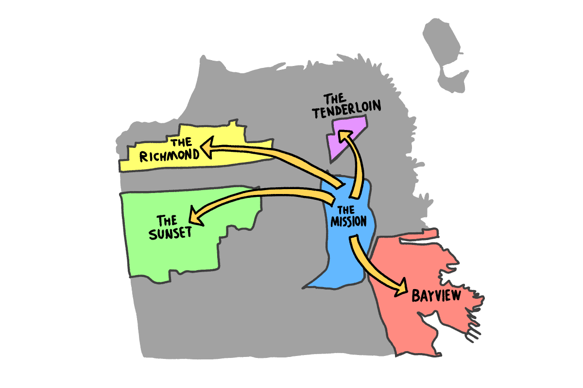
Use our interactive tool to find other stats: Click a neighborhood from the drop-down menu, or do comparisons between census tracts to understand your backyard better. What is it like, and how does it differ on a range of topics, including housing, crime, demographics, and income?
Here are some fun facts:
- Mission Bay has both the highest number of children under 5 and the highest number of doctorate degrees.
- Some blocks in the Tenderloin are the most car-free in the city.
- Ingleside Terrace has more seniors than any other neighborhood, and the highest number of households with three or more vehicles. That likely indicates a higher prevalence of multigenerational households.
You can explore the chosen area by clicking through the options below for different datasets. You can also search by neighborhood using the drop-down menu.
Want the raw data? Click on the download button next to the dropdown menu.
Let us know what you find interesting in the comment section below. You can also compare it with the data from last year here.
Methodology
Most of the data used in the tool come from the 2023 American Community Survey, which is a yearly survey conducted by the Census Bureau. The figure reported in the survey contains a margin of error, and you can check it out by clicking on the links in the footnotes.
The crime data comes from the San Francisco Police Department incident reports for 2024. Note that the incident report data are not the same as the SFPD’s official crime statistics. Rather, it is a log of police incidents. We use this dataset for precise geographic data, instead of the finalized figures in the crime statistics.
Incidents without geographic data are excluded. We took a look at five types of common crimes, including assault, burglary, larceny, motor vehicle theft, and robbery.
We will update the tool once the 2024 American Community Survey data becomes available in September 2025. If you would like to see any other data added to this explorer, or if you spot any errors, please drop a line at xueer@missionlocal.com.
Base code credit to Will Jarrett and Kelly Waldron. You can access the code behind this tool at Mission Local’s GitHub.
Note: The crime data shown in this tool was updated in March 2026 to exclude any duplicate incident reports, and reports filed by members of the public.