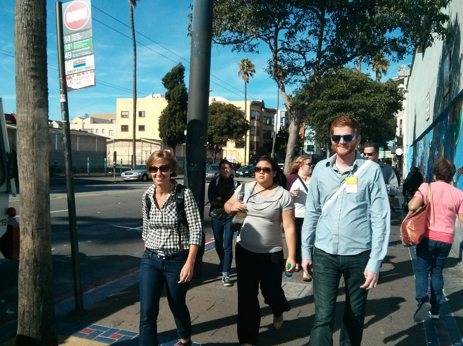

This afternoon I encountered a group of people watching traffic on South Van Ness Avenue. I though they were there to check out condos but turns out they were city planners nerding out about traffic calming methods. This is your afternoon report:
“We can make signal changes without environmental review,” said Cameron Beck, an engineer with the SFMTA, as he addressed a group of city planners who were touring the Mission.
“We’re glad we don’t have [environmental review],” said one about the state law which requires a lengthy review process for most infrastructure projects.
When he explained that some projects could take 4 to 6 months just for them to be looked at by planners a table full of planners from Seattle and Minneapolis reacted with a collective “wow.”
Welcome to San Francisco.
The bureaucrats are here for the third annual Designing Cities conference and made it to the Mission to check out the traffic calming methods implemented by the city on Capp, Natoma and Minna streets near 16th and Mission.
The city recently implemented speed bumps and edge lines that reduced speeds on the streets. On Natoma Street, between 14th and 15th streets, the speed bumps reduced speeds from 21 mph to 14 mph; On Minna Street it went from 22 mph to 12; and Capp Street, between 15th and 16th, it went from 26 mph to 17 mph.
More than dozen of these tours groups are currently roaming San Francisco.
And as it turns out the bureaucratic nightmare we have here are not that much different in other cities.
“I can explain to you Seattle, but it will be a 30 minute rant,” a planner said as he gulped his beer at a nearby pub.
This has been your Afternoon Report—a new series we’re trying out in which we offer a quickie post-meridian rundown of some minor developments in the always-happening streets of the Mission District. Got ideas or suggestions? Let us know what you think by sending an email to info@missionlocal.com.
Potrero connects to 101 and transitions to Brannan all the way to the waterfront and it is being calmed.
Mission is the longest street in the city and a huge project is in the works.
Folsom runs from Bernal all the way to the Embarcadero and it has been calmed.
Bryant runs all the way from Bernal to the Embarcadero and has been calmed.
Bayshore Ave is a freeway connector and it has been calmed.
South Van Ness is a freeway yet the SF MTA allows traffic to speed through with their outrageous light timing.
What’s the difference with the examples above?
Slow down South Van Ness like the others have been.
What problem are they trying to solve? Speed humps are DANGEROUS TO AMBULANCES, FIRE TRUCKS AND POLICE. Slowing down emergency response vehicles endangers lives.
Making our streets full of hazardous obstacles is stupid.
I hope they do something about the traffic mess on South Van Ness Ave. The traffic is unsafe, the traffic volume far to great and the accident numbers unacceptable.
Most of the roads parallel to SVN have been calmed and/or had lanes taken out for bike lanes. There has to be one decent through road for traffic west of Potrero Street and it’s SVN. This makes sense because it connects to 80, 101 and to Van Ness – the state-designated route to GG Bridge
There should be more than one road handling the traffic.
Valencia, Folsom, bryant, Harrison, Guerrerro, San Jose Ave, Cesar Chavez have been calmed, slowed etc.
Oh yeah…Potrero is next and it is a major street to the freeway.
3 people killed on SVN in the last 2 years and major wrecks to boot.
South Van Ness residents deserve safe street just like the rest.
South Van Ness is the only remaining free flowing street. Creating intentional traffic jams forces residents to inhale greenhouse gases, increased dramatically from idling cars, and also creates road rage.
Have a little empathy for families and shift workers who HAVE to use cars.
We can’t get to work at 4am on Muni, or take our children to multiple schools.
Not to mention everything you buy, eat, wear, and use comes off a motor vehicle.