
By STEFANIA ROUSSELLE
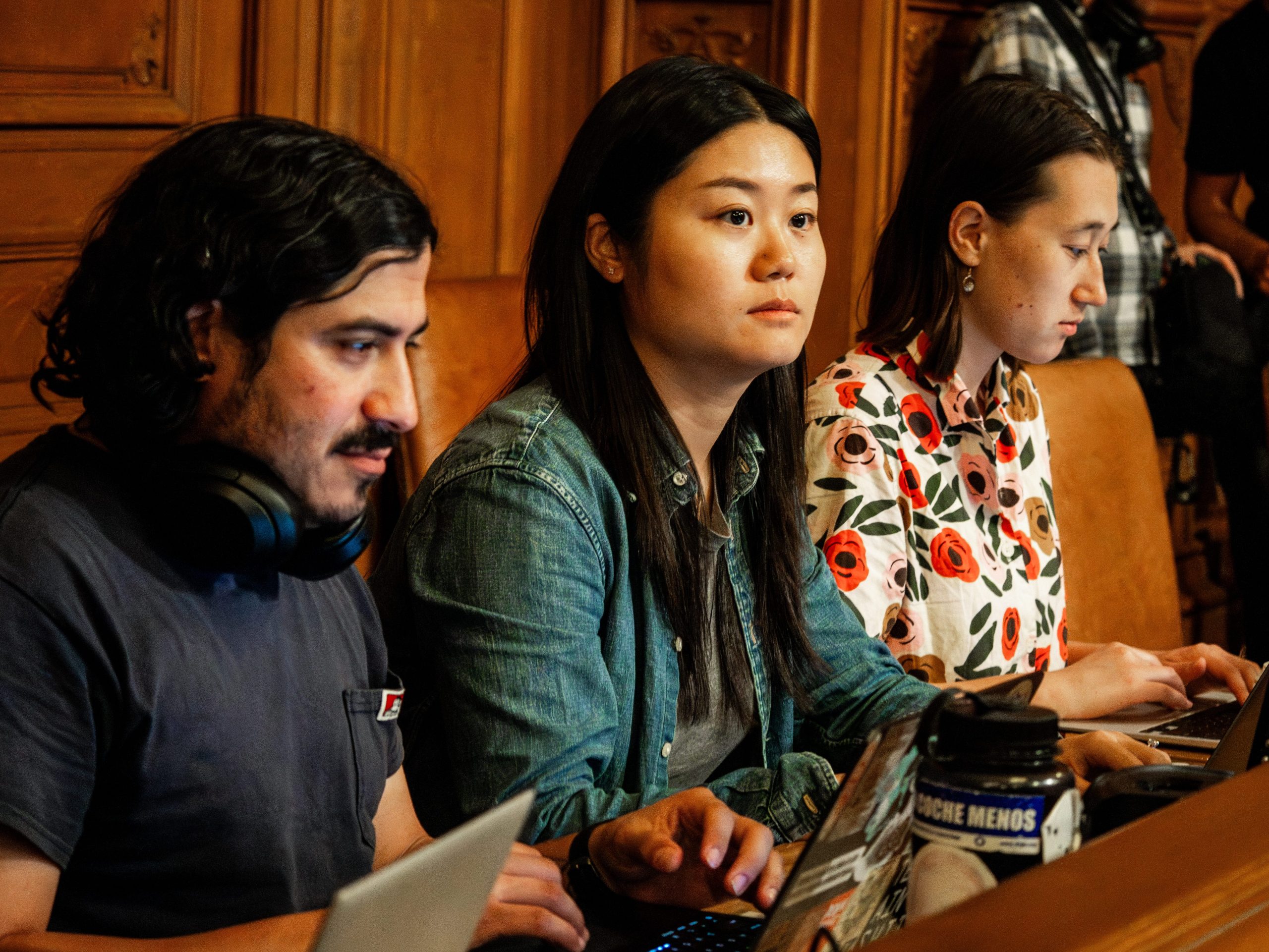
Some 30 Mission District residents attended a Wednesday night meeting at the Women’s Building to give feedback on about twenty projects to improve the Mission District streetscapes.
It was the third meeting in a planning process that began last summer. The projects—ranging from plazas to gateways —were displayed on billboards with the approximate time and cost of each. Residents as well as interested parties like the Bike Coalition and merchant groups could write their comments on post-its.
Other city agencies, Parks and Recreation and the Municipal Transport Agency were present to showcase the projects: the Mission Playground and Dolores Park renovations for the former, the Safe Route to School Programs for the latter.
“This strategy allows us to work together, to get the system to interact together”, said project Co-Manager, Amnon Ben-Pazi from City Group Design with his two hands clasped together as one.
In less than one hour, the post- its multiplied like mushrooms.
Favorites: Plazas. According to the City Group Design, new plazas would transform unused space into community resource areas such as community gardens. For instance, on Treat Plaza, the City Design Group proposed to close Treat Street to the traffic and transform the unused space into a pocket park on the West side of Harrison.
This project turned out to be the one with the most positive votes. “It is to get a sense of what the community wants the most,” said Ilaria Salvadori, The City Group Design group project manager “It doesn’t mean the selected projects are the ones that were going to be done in priority.”
But still, there were other suggestions or comments that had to be made. Sharon Dodge, from the Tenderloin Neighborhood Development Corporation, wrote on her post it: “18th/Alabama/Treat, very pedestrian unfriendly. No cross walks. Missing sidewalks. Cars park in the intersections all day Monday through Friday. Lots of dogs SPCA + AC. Please show this area some love.”
Another idea was to create more gateways for public spaces. For instance, two options were given for a Dolores/San Jose Gateway. Option 1: tighten the intersection, widen the east sidewalk to create a pocket park and create a new gateway park at the entrance to Dolores Park.
Or option 2: Tighten the same intersection but also widen the median to create a linear gateway park.
This project even though, it wasn’t part of the top three, got so many post- its, it looked like a Jackson Pollock post it painting.
Marc Caswell, program manager at the San Francisco Bike Coalition, said he was there to represent bikers. ”He voted for Option 2. “The tightened intersection will make the cars go slower,” he explained.
Others designs concerned creating a network of pedestrian spaces by using the alleys. The planning department proposed, for instance, taking out the cars from Hoff Street.
Most residents disagreed. As one post it said: ” This seems ill conceived, unless there is food or some way to attract people, it will be filled with junkies.”
The next most popular idea: protect residential areas from traffic and transform streets into gathering spaces with Capp Street designated a priority. The idea would be to put in mid-block chicanes that would slow the traffic and create opportunities for gardens. The proposal included traffic circles at specific intersections to discourage through-traffic.
Slowing down traffic on Capp Street and 20th Street won widespread approval from residents.
Other projects stressed protecting pedestrians from the adverse effects of high speed traffic on Folsom and Bryant streets, and improving the street crossings to Dolores, Guerreo, San Jose and South Van Ness by planting green medians, putting in green bulbouts at intersections.
Maureen Schmidt, who used to be a Mission resident, objected “We can’t afford loosing all this parking,” she said. “If you have no parking you have no business.”
And so the evening went on. There’s no guarantee that any of the ideas will be applied. Project Co-Manager, Amnon Ben-Pazi said : “The money comes in cycles. We have to be ready to propose something. […] we dont have a pot of money and are seeing what to do with it.”
Next step? Refine the project designs, begin the environmental review until the last draft is completed in Spring 2010. Residents can see all the possibilities next week on the City Design Group website.
Benito, good points. I was at the meeting and the spaces that were being looked at were the streets. So the existing use is for cars. In some places that means traffic that’s not safe for families with kids. I was pretty impressed with the Planning Department ideas…they should make it safer for kids and parents to walk to the playground or carniceria or wherever.
If they can actually find the money to make it happen, the impact on low income families should be positive.
Was the crowd ethnically diversed? Was it representative of all Mission District interest? or was it just special interests? The Mission has a number of families with children, has this been take in the designing of the street scape? Is there any impact on low income families that live in these areas? Has anyone looked at existing patterns uses of these public spaces, historically ?